
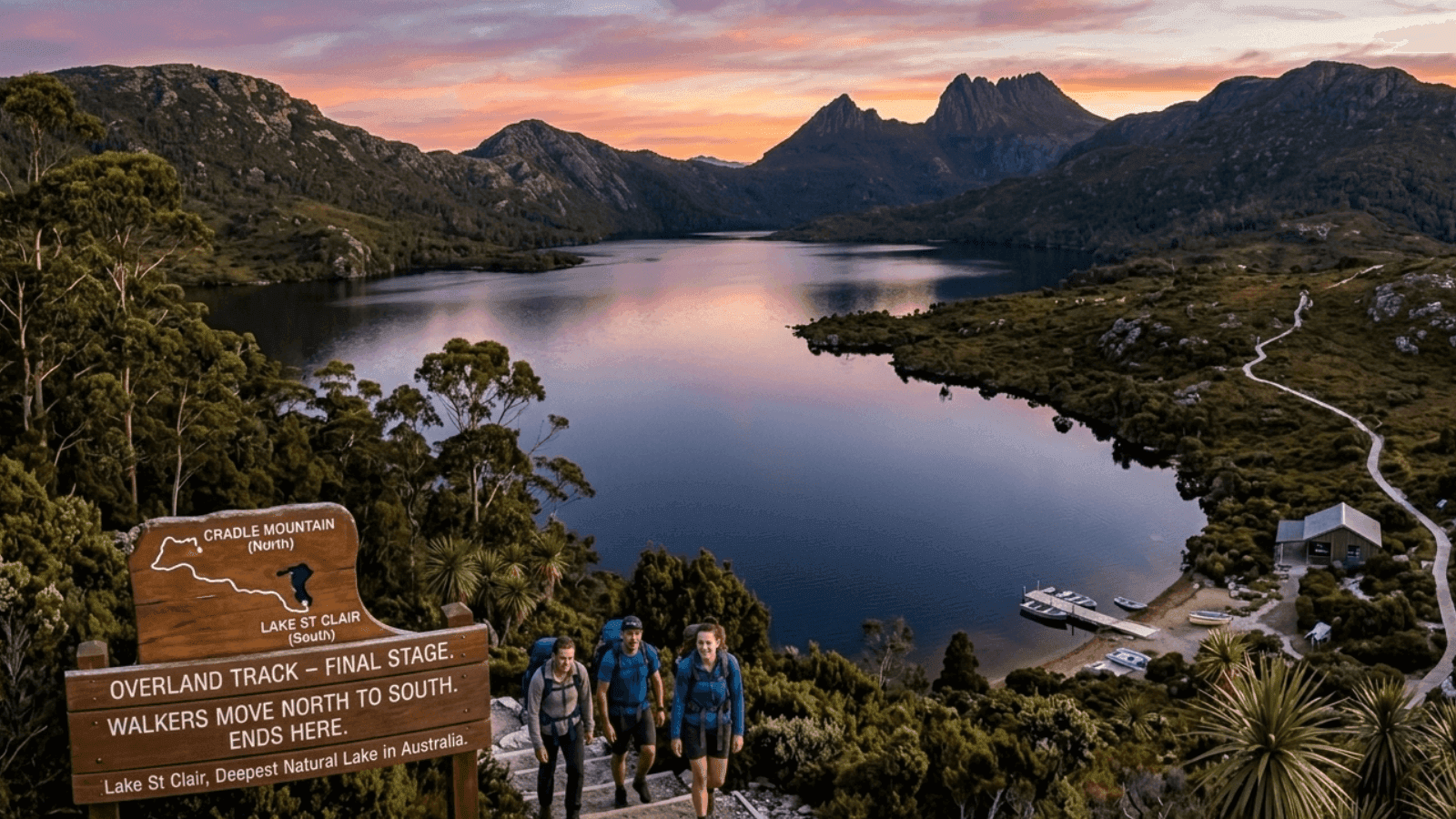
The Trek That Takes You Across Tasmania’s Wilderness
Some walks take an hour. This one takes six days and a very good pair of boots. Tasmania’s Overland Track turns every kilometre into a new view, from misty lakes to open alpine ridges.
The Overland Track Runs Through the Heart of Cradle Mountain–Lake St Clair
The Overland Track stretches about 65 kilometres through the protected landscape of Cradle Mountain–Lake St Clair National Park. Walkers usually move north to south, beginning near Cradle Mountain and finishing at Lake St Clair, the deepest natural lake in Australia.
The terrain changes almost daily. One morning you are climbing through alpine heath, the next you are crossing moorland or walking beside still glacial lakes. The variety keeps the trail from ever feeling repetitive.
Overland Track Route and Hut Stops
The track is designed around a sequence of backcountry huts spaced a day’s walk apart.
- Waterfall Valley Hut sits below Cradle Mountain and is often the first overnight stop
- Windermere Hut sits beside a quiet lake with wide views of the surrounding plateau
- Bert Nicholls Hut near Pelion Plains is the largest and busiest shelter
- Kia Ora Hut sits near forested slopes and waterfalls
- Narcissus Hut marks the final stretch toward Lake St Clair
- Side trails from Pelion Plains lead to the summit of Mount Ossa
Permit System and Seasonal Planning
During the peak walking season between October and May, the park service limits the number of hikers entering the trail each day. Permits help protect fragile alpine vegetation and reduce crowding along the narrow boardwalk sections.
Bookings usually open about 12 months in advance. The most popular dates often disappear quickly once the online system opens, especially during the Australian summer holiday period. Winter is very different. The quota system disappears between June and September, but snow and icy conditions make the route suitable only for experienced walkers with the right equipment.

Ways to Reach the Trailhead
- Most hikers begin their trip at the visitor centre near Cradle Mountain. Several travel routes connect the area with Tasmania’s main cities.
- Shuttle buses run from Launceston and take around three hours
- Flights into Hobart followed by a bus transfer take roughly four hours
- Travellers arriving by ferry in Devonport often rent campervans for the 2.5 hour drive
- The park shuttle connects the visitor centre to the official Overland Track start point
Climbing Mount Ossa From Pelion Plains
Many walkers treat Mount Ossa as the unofficial highlight of the journey. At 1617 metres it is the highest mountain in Tasmania.
The climb begins as a side trip from Pelion Plains. The route cuts through forest first, then opens into steep rocky slopes where the vegetation thins out. Clear days reveal an enormous sweep of the Tasmanian highlands.
It adds several hours to the schedule, so most walkers plan an extra night near Pelion Plains before attempting the summit.
Packing for Tasmania’s Fast-Changing Weather
Tasmania’s alpine weather has a reputation for switching moods without warning. Sunshine can turn into sleet within an hour.
Waterproof jackets, warm layers, and dry bags are essential even in summer. Boardwalk sections help keep boots out of mud, but rain can still soak gear if it is not packed carefully. Lightweight tents are optional but useful when huts fill quickly or when walkers want more flexibility in where they stop.
Finishing at Lake St Clair
The final section reaches the northern edge of Lake St Clair, where hikers choose between walking the last kilometres along the lake or boarding the small ferry service that crosses the water.
The ferry shortens the walk and saves several hours, but its schedule often determines when walkers can leave the trail. Many people time their final morning carefully to match the departure.
From there, buses and transfers connect back to Hobart or other towns across Tasmania. Thinking about a trip like this? Neomaxer helps travellers find comfortable stays near incredible destinations so the adventure continues long after the trek ends.