
Planning the Milam Glacier Trek: Route, Distance, and Key Stops
Milam Glacier Trek Overview
Milam Glacier sits in the upper reaches of the Gori Ganga valley in the Uttarakhand Himalayas. The trek begins from the mountain town of Munsiyari, often called the gateway to the Johar Valley. From here, the route gradually climbs through forests, riverside paths, and high-altitude settlements that once thrived during the Indo-Tibetan trade era.
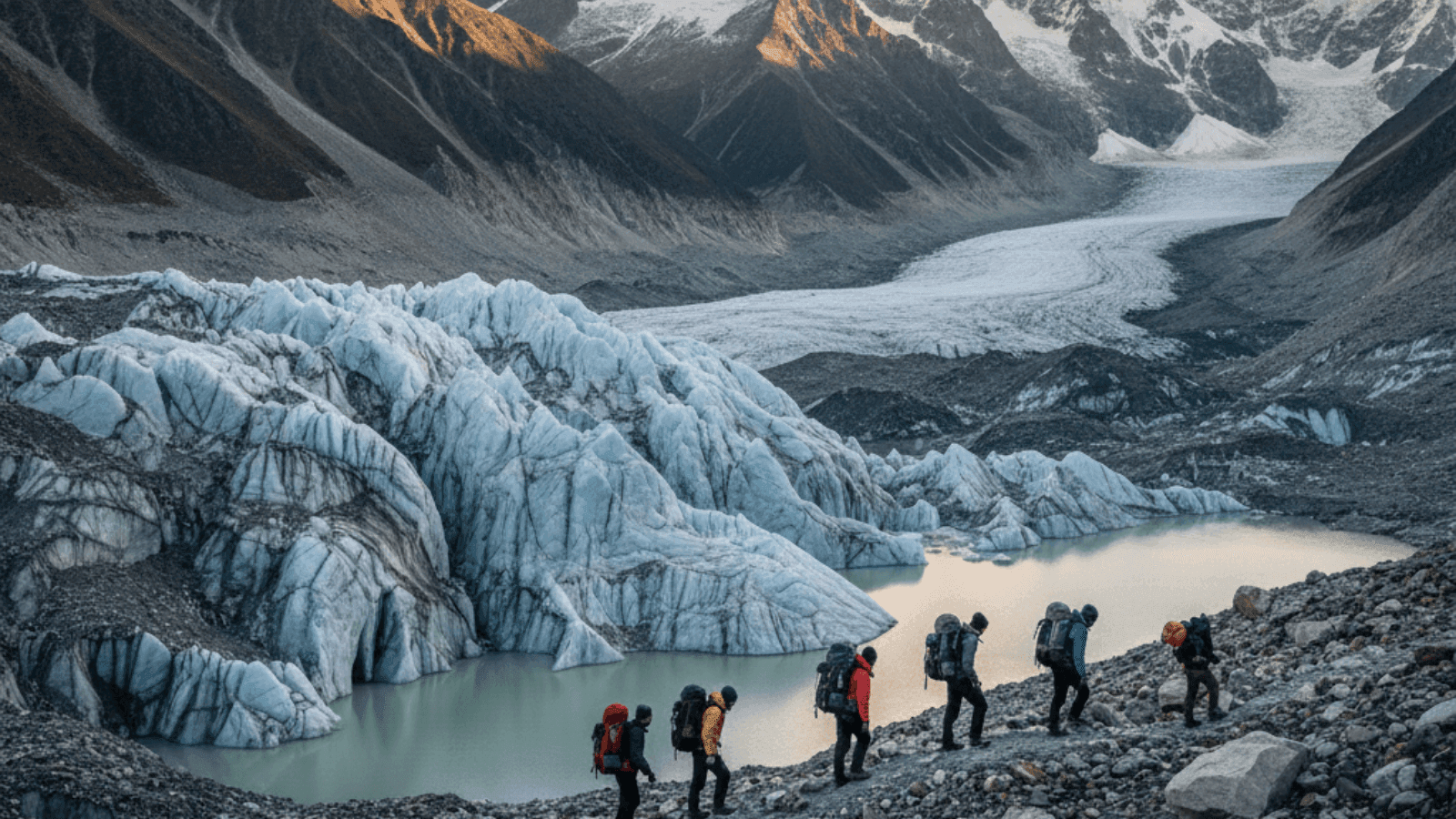
The glacier itself stretches for several kilometers beneath towering peaks of the Kumaon range. Trekkers walk through abandoned stone houses, alpine meadows, and wide glacial valleys before reaching the glacier snout near Milam village.
9-Day Route from Munsiyari Roadhead
Most trekking itineraries follow a 9-day plan that balances walking distance with altitude gain. The route traces the Gori Ganga River valley, passing through villages that historically supported caravans traveling toward Tibet.
The trail gradually gains height rather than climbing sharply. This steady progression makes the trek manageable, though the distances between camps can be long.
Daily Trek Distances and Camps
- Lilam Bugdiar 12 km riverside camp day 1
- Bugdiar Rilkot 14 km forest meadows day 2
- Rilkot Milam Village 16 km Burfu ruins day 3
- Milam Glacier 8 km roundtrip snout views day 4
The first day follows a narrow trail carved along the valley cliffs toward Lilam and then Bugdiar, where camps sit beside the rushing Gori Ganga river.
The second and third days move deeper into the valley. Meadows appear around Rilkot, while Burfu and Milam village reveal traces of the region’s former trade settlements.

Getting to Munsiyari Base
- Kathgodam overnight bus 10 hours around Rs 800
- Almora shared jeep about 12 hours roughly Rs 1200
- Pantnagar flight plus cab combination about 14 hours around Rs 5000
- Private taxi for a group 278 km around Rs 8000 shared
Most trekkers reach Munsiyari after traveling from towns in the plains of northern India. The road journey winds through hill districts before the mountains open up to views of the Panchachuli peaks.
The last stretch into Munsiyari climbs steadily through pine forests and small Kumaoni villages.
Permit Booking Deadlines
Because the trek lies close to the Indo-Tibetan border, permits are required before entering the Johar Valley. These are usually issued through the forest department and local administrative offices in Munsiyari.
Trekkers generally arrange permits one or two days before departure. Identification documents and trek details are checked carefully since the region falls inside a restricted zone.
Altitude Acclimatization Stops
Altitude gain along the Milam trail happens gradually, but acclimatization still matters. Rilkot and Milam village work well as natural pauses where trekkers can rest before heading higher toward the glacier.
Spending extra time in these settlements allows the body to adjust while giving trekkers a chance to explore the old stone houses and surrounding meadows.
Best Window Post-Monsoon Clears
The clearest trekking window usually arrives after the monsoon season. September and October often bring stable weather, open mountain views, and comfortable trekking temperatures.
Daytime temperatures remain cool but manageable, while nights can drop close to freezing once the trail reaches Milam village. Early summer months also work for trekking, though cloud cover sometimes hides the surrounding peaks.
Snowfall begins returning to the region toward late autumn, gradually closing high sections of the trail. Planning a Himalayan trek often starts with finding the right place to stay before and after the journey. Find handpicked mountain stays through Neomaxer.