
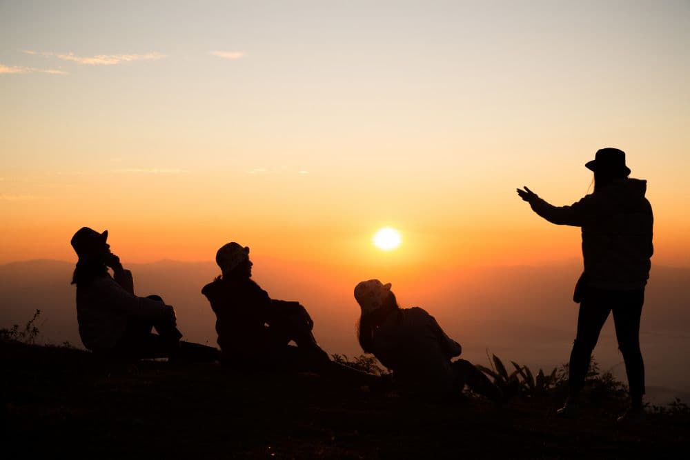
Headlights throwing shaky cones of light on a broken mountain road at 3.30 a.m., engine panting in low gear, and a cold wind sneaking through the window gap, this is how most people begin their trek to Mullayanagiri without realising the peak has already started testing them.
Reading the mountain before first light
Locals around Chikmagalur do not explain the peak with statistics first. They talk about signs. The way mist clings to the ridgeline even when the valley is clear. How fast do clouds cross the road below the temple steps? The direction the wind blows the grass just before a storm. On a good sunrise day:
- Stars are sharp above the last tea stall
- The wind is steady, not gusting sideways
- Distant town lights below are clear rather than hazy
If the sky is flashing with distant lightning or fog is already thick on the road, the hill is telling you what kind of morning it plans to give you.
Picking your route and knowing the real distance
The Mullayanagiri trek distance depends on where you choose to start. Two main options:
- Sarpadhari trail: 3 to 4 km one way, steeper and more natural, used by those who want a proper hike
- Temple parking to summit steps: roughly 500 to 700 meters, stone steps and short paths, more like a climb than a trek
Many weekenders arrive by vehicle up to the higher parking and still call it a “trek to Mullayanagiri.” The hill does not care what you call it. It only reacts to how you move on its slopes and how prepared you are for the wind, cold, and loose rock.
Trek to Mullayanagiri difficulty level: not just about fitness
On paper, the trek to Mullayanagiri difficulty level is tagged as easy to moderate, especially from the upper parking. In the dark, with sleep in your eyes and rain on the stones, that label changes quickly. Factors that raise the difficulty:
- Wet moss on steps and rocks in monsoon months
- Strong crosswinds near the ridgeline that can unbalance you
- Crowds bunching up on narrow sections during long weekends
For the Sarpadhari trail, add:
- Uneven dirt path with loose gravel
- Steeper short sections where hands help as much as feet
- Longer exposure to wind and cold before sunrise
Children and older trekkers manage this hill every week, but only when someone in the group watches the slowest person more than the clock.

Entry fee, checkposts, and arriving by car
You do not walk into this peak from a city footpath. You cross forest check posts and estate edges. Typical on-ground details:
- A small Mullayanagiri trek entry fee or parking charge may be collected by local or forest authorities near the upper approach
- Barricades or gates close the road at night in some seasons, opening only after a set hour in the morning
- In monsoon or heavy tourist rush, vehicles may be stopped lower down to control flow
For the Mullayanagiri trek by car, your driver reads the mountain too:
- Lower gear on steep hairpins, no rash overtaking of tourist jeeps
- Parking nose outward to make a quick, safe exit in the crowd post sunrise
- Watching for rockfall and narrow sections where only one vehicle should pass at a time
A Mullayanagiri trek package that ignores these ground realities and promises “anytime access” is not being honest with either you or the hill.
What sunrise on the peak actually feels like
At the top, there's this tiny old temple and some half-crumbled ruins just kinda sitting there, totally unfazed, no matter how many tourists show up snapping pics. But man, on the best mornings? The whole valley fills up with clouds like you're standing on some crazy, fluffy ocean, and the Bababudangiri hills carve this sharp, dark line while the sky goes from midnight to this wild golden glow. You notice:
- How quickly the cold turns to sweat when the sun clears the ridge
- The way wind rips sound away, so even a shouting crowd can feel distant
- Patches of grass and rock just beyond the railings, where one misstep would be unforgiving
The “best views in Karnataka” are not just wide panoramas. They are also the sight of your own breath, the line of headlamps coming up behind you, the first tea seller firing up his stove on the slope below.
Moving like a guest, not an owner
Mullayanagiri is not a viewpoint built for you. It is shared land between grassland, shola patches, grazing cattle, and people who use these slopes long after the sunrise crowd goes home. On the way down:
- Stay on marked paths, do not cut new switchbacks into the soil
- Pack back every bit of plastic, even what is not yours
- Give way to villagers and workers who know this mountain better than any GPS
If you want to feel more peaks and rocks this way, watching signs, not just chasing views, keep following the quieter trekking notes on this blog and get to know more about the Ramnagara trail by Neomaxer, so your footing and awareness on granite can sharpen before you next plan a sunrise trek to Mullayanagiri or any other hill that deserves the same respect.